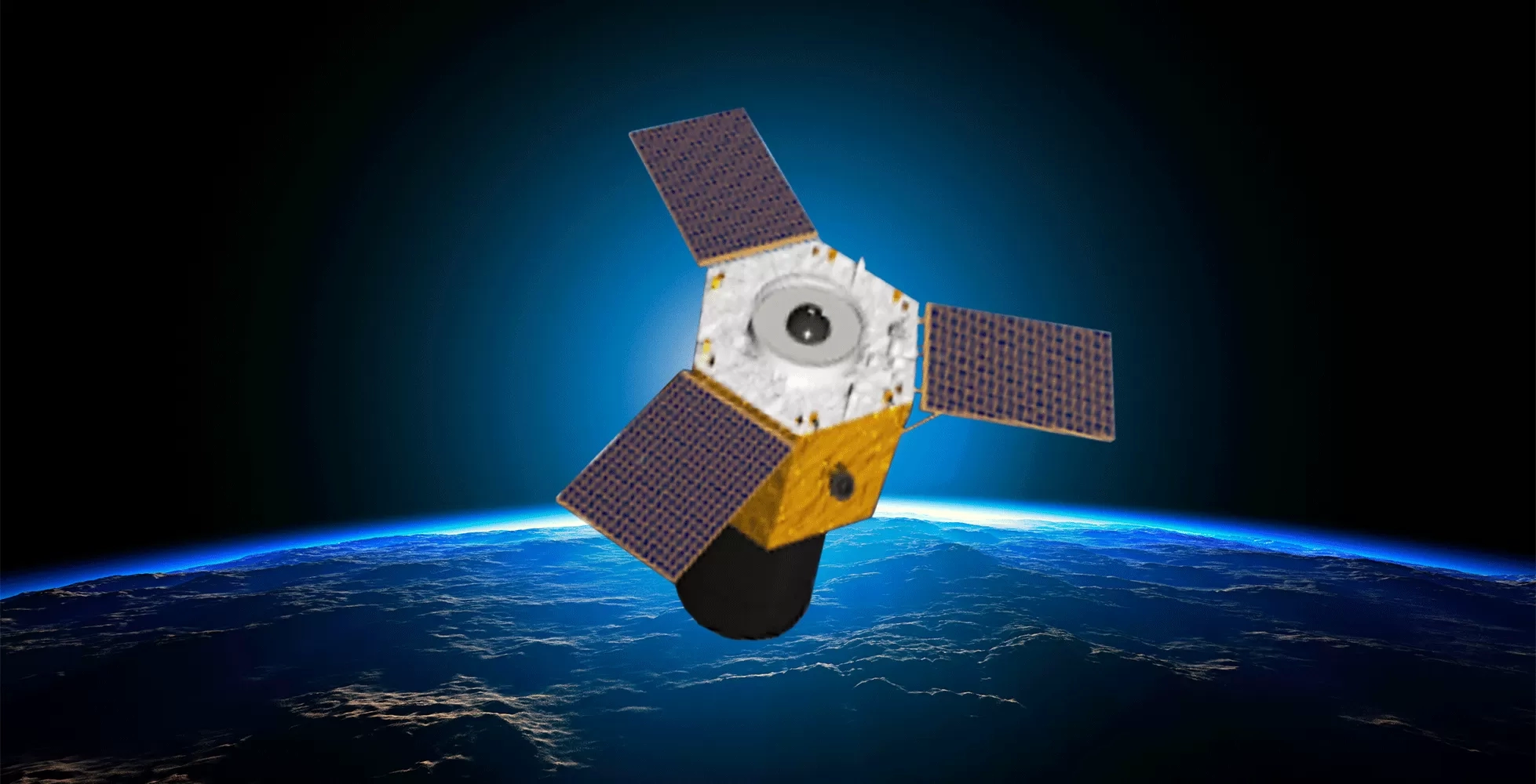
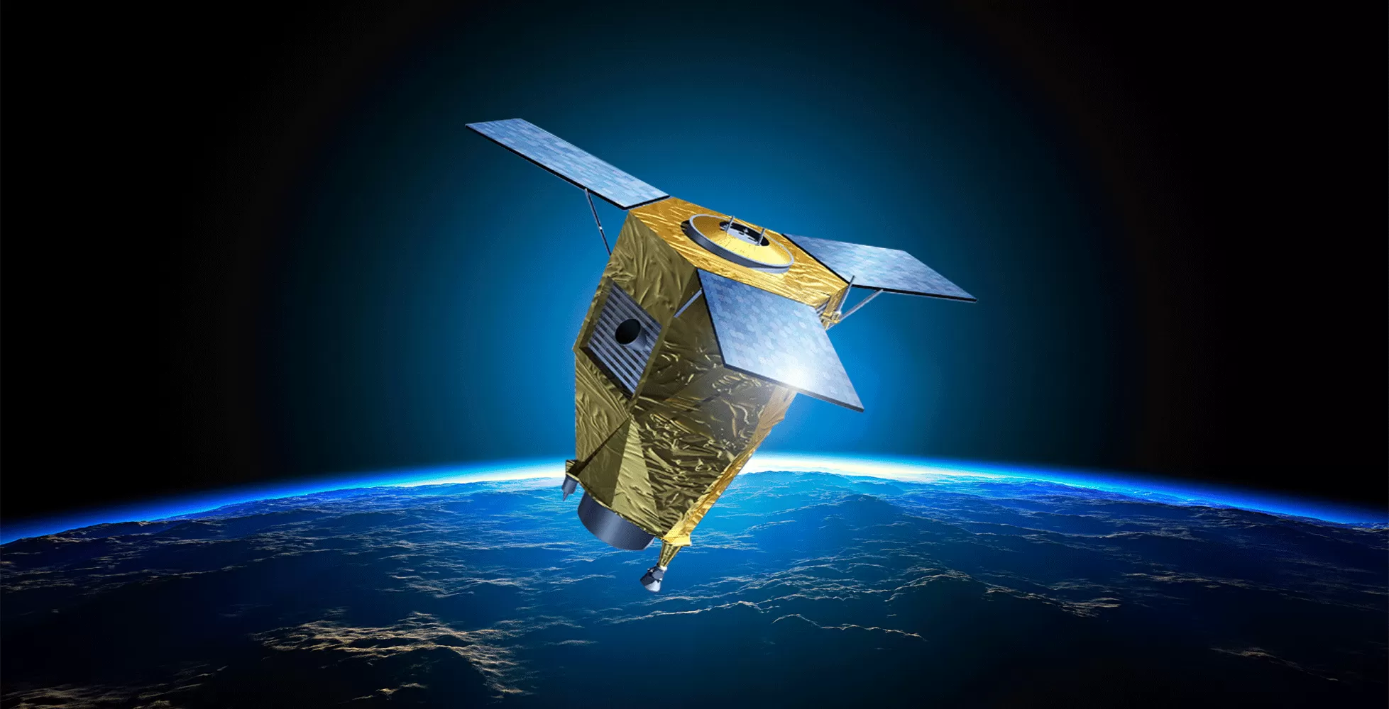
WorldView-4
WorldView-4, which was released in 2016, provides imagery for mapping, urban planning, and environmental monitoring. Unfortunately, it ceased operations in 2019. Contact

Your Gateway to Spatial Solutions

Call/WhatsApp +92 345 2997342

WorldView-4, which was released in 2016, provides imagery for mapping, urban planning, and environmental monitoring. Unfortunately, it ceased operations in 2019. Contact
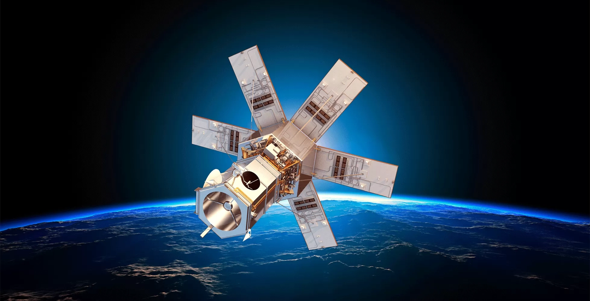
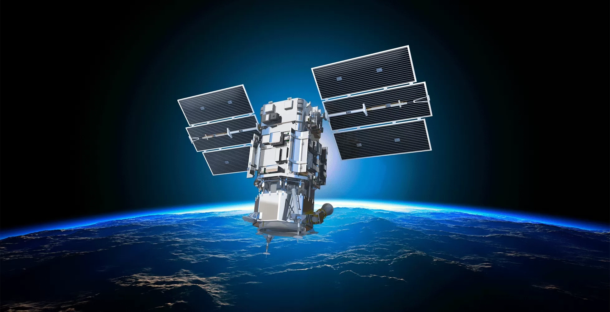
Pléiades Neo consists of two satellites with enhanced imagery, optimised tasking, and a wide range of applications in earth observation, mapping, and
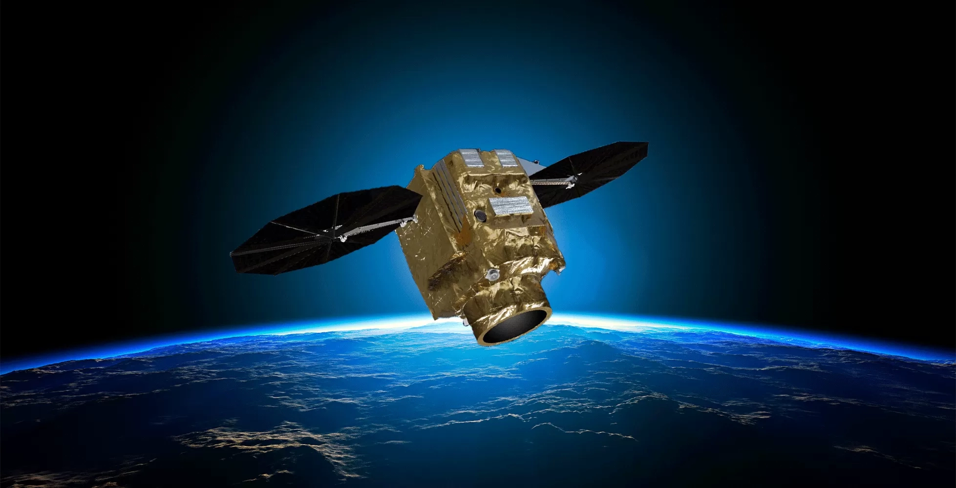
Pléiades 1A and 1B, launched in 2011 and 2012, are satellites that can provide accurate imagery for a variety of purposes. Contact
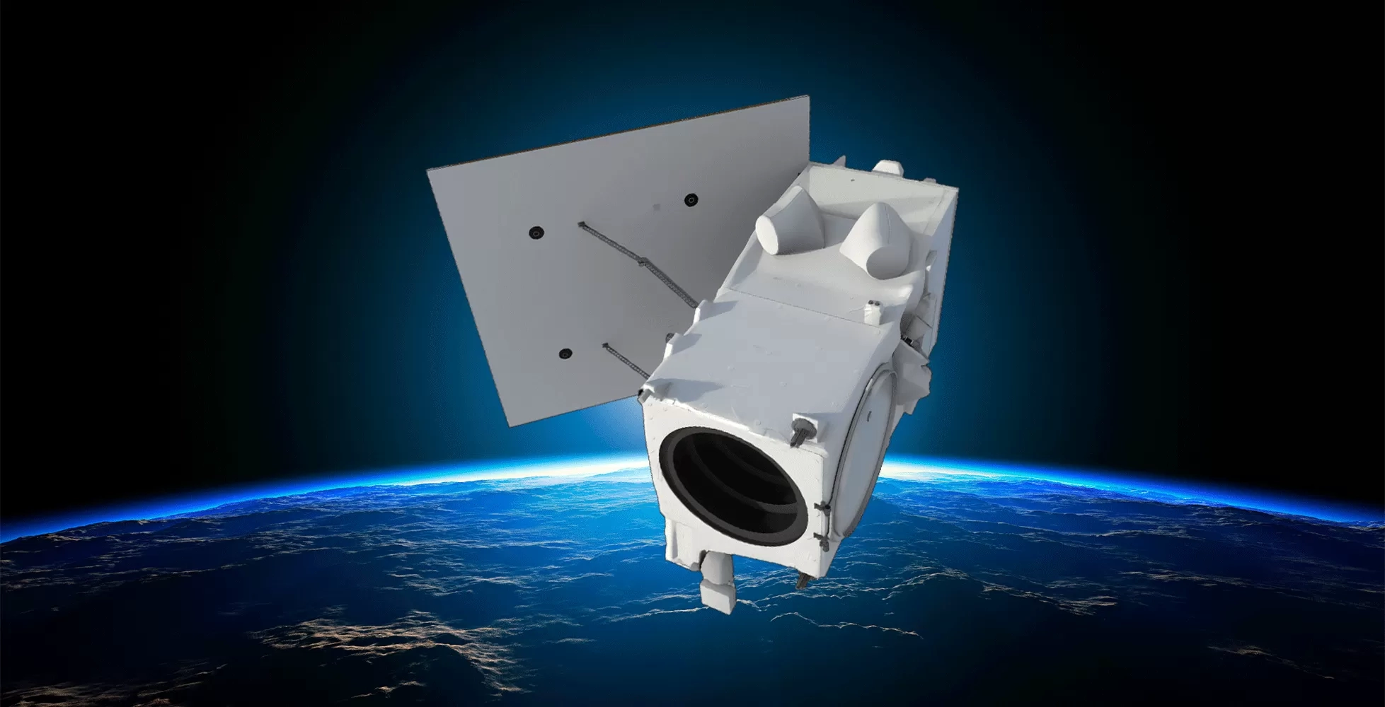
WorldView Legion 30cm-class fresh capture and archive imagery is now available and provide the highest resolution commercially available (at the time of

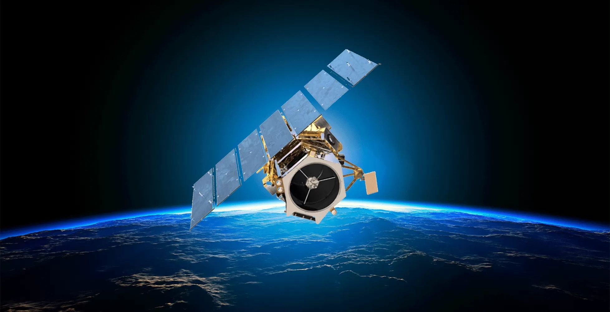
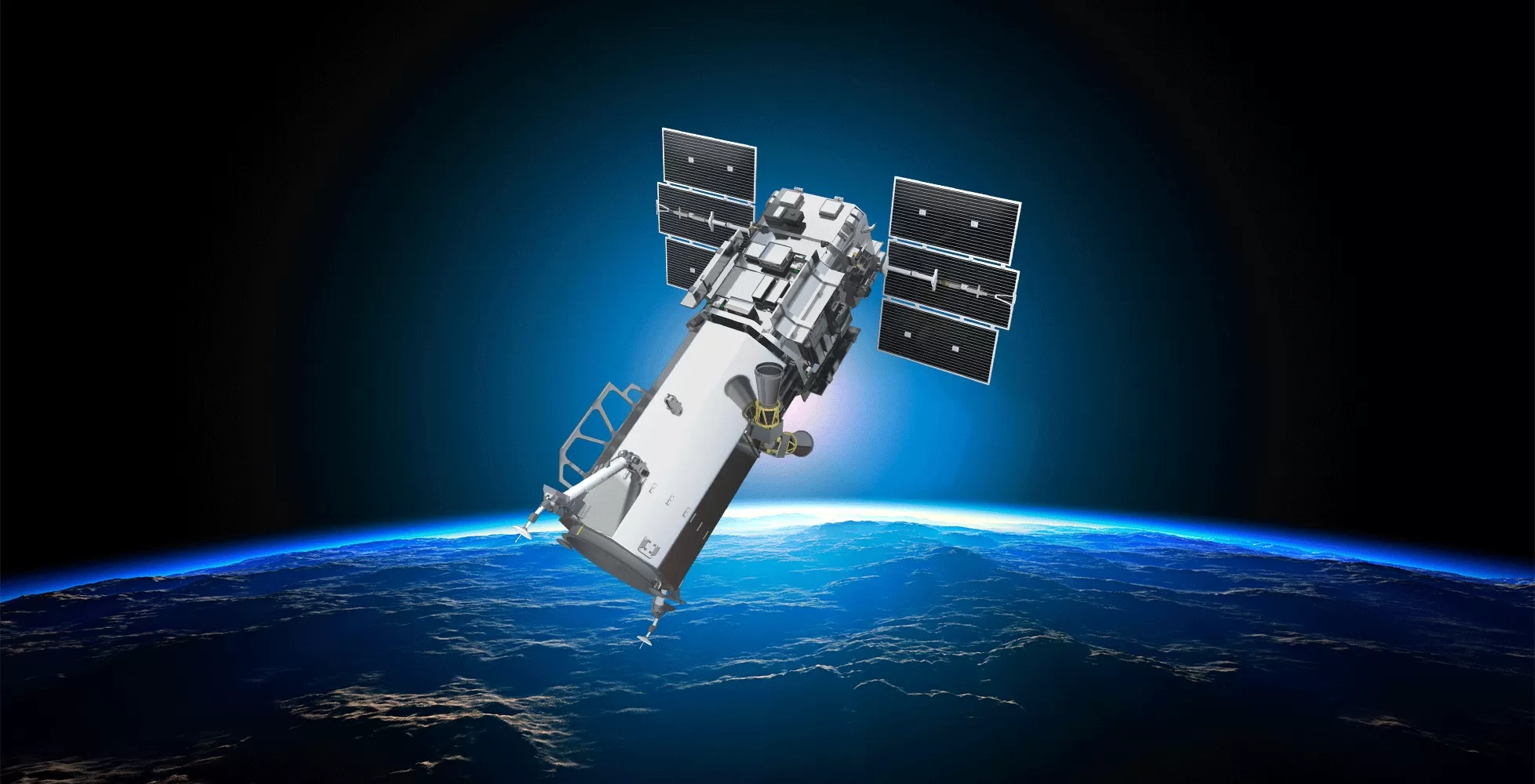
WorldView-3, launched in 2014, offers multispectral imaging with 16 spectral bands, benefiting industries like mining, agriculture, and environmental monitoring. Contact Us AboutWorldView-3,
WorldView-1, which was launched on September 18, 2007, is a satellite that captures 50cm imagery covering 750,000 km² per day. Contact Us
WorldView-2, which was released on October 8, 2009, gathers imagery with eight spectral bands spanning 975,000 km² every day. Contact Us AboutMaxar’s